What it actually is
- A village on a lake in Obwalden, sitting on the road and the railway over the Brünig Pass — the line between Lucerne and Interlaken. Almost everybody who passes Lungern is on their way somewhere else.
- The lake is at 688 meters, covers about two square kilometers and goes down 68 meters at its deepest. It drains north through the Sarner Aa, into the Sarnersee, and eventually into Lake Lucerne.
- It is a stop, not a destination, and it is a very good one. Fifteen minutes off the road buys you the view that everyone else photographs badly through glass at 80 km/h.
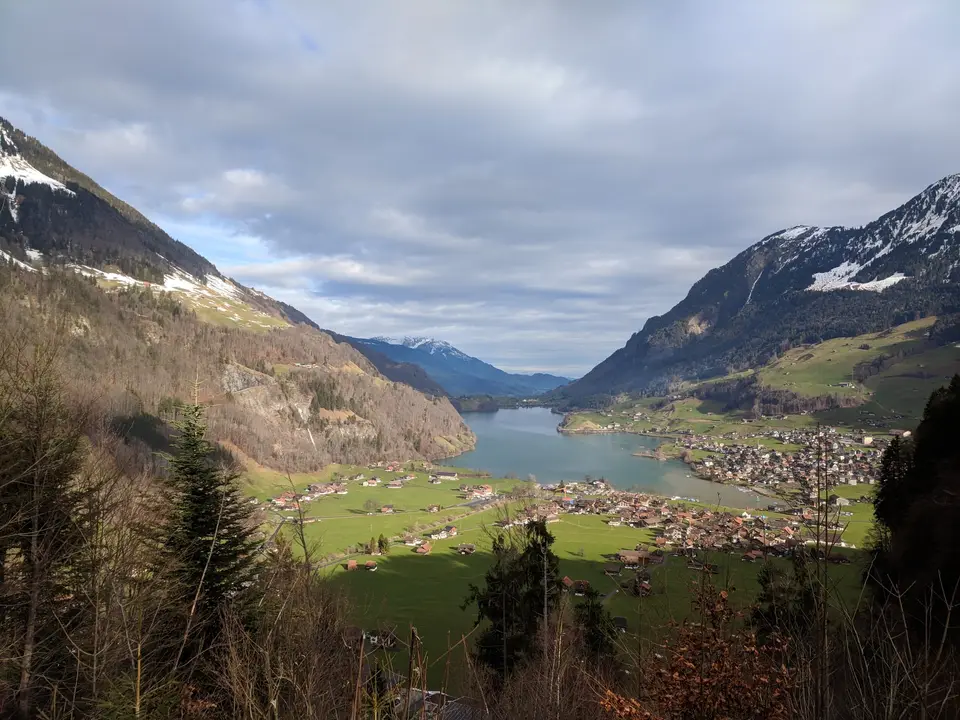
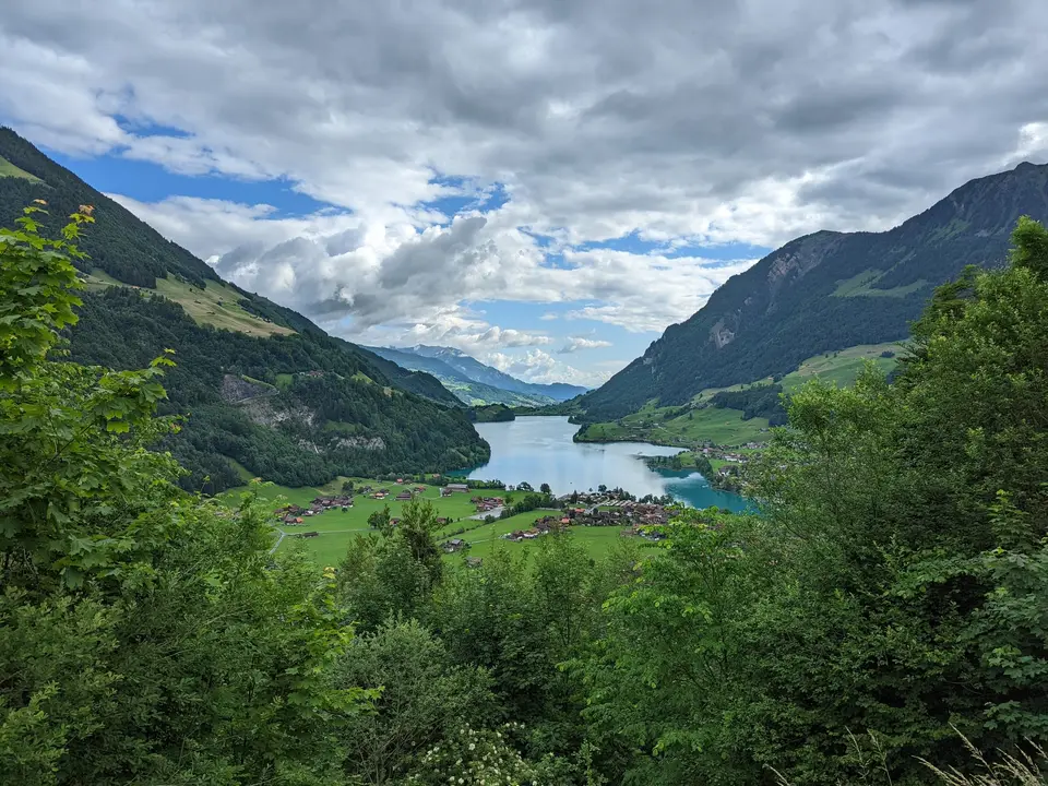
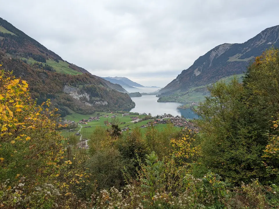
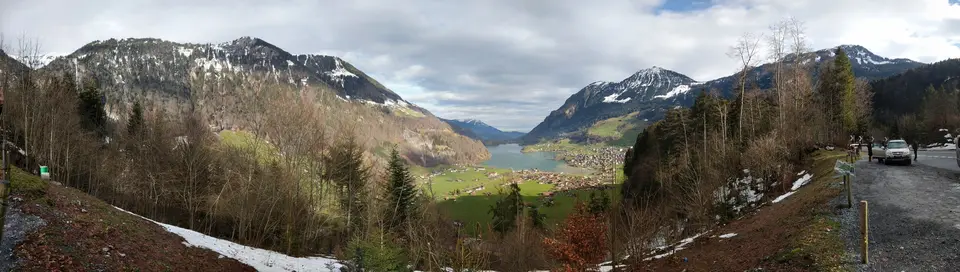
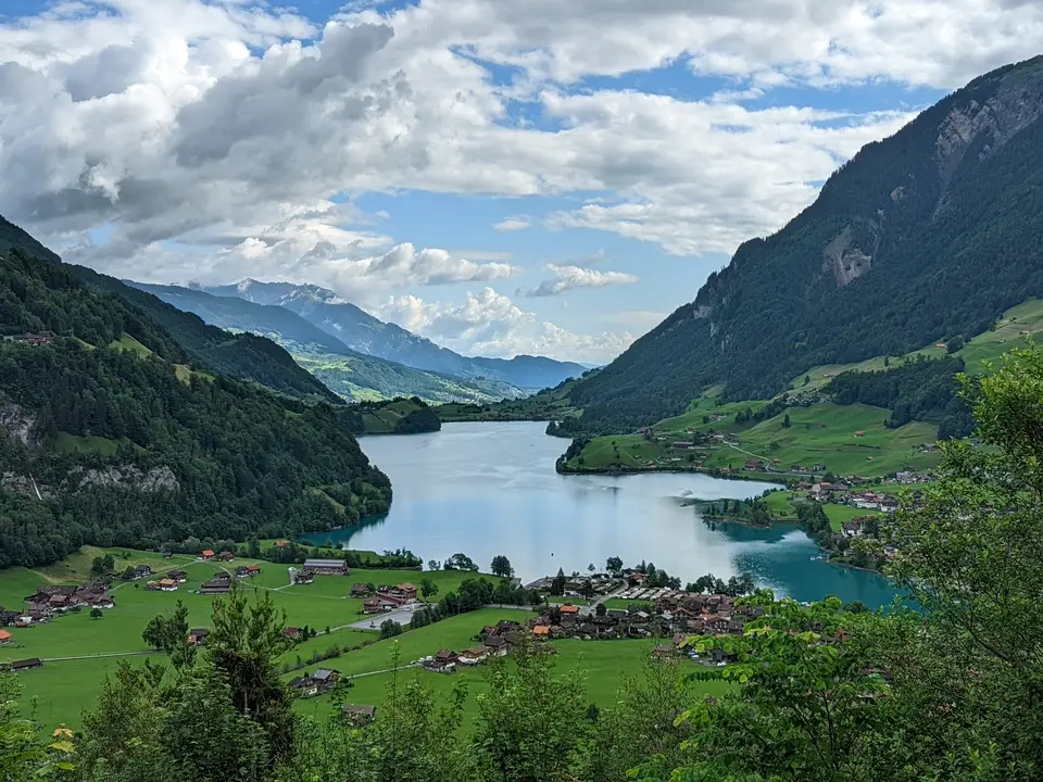
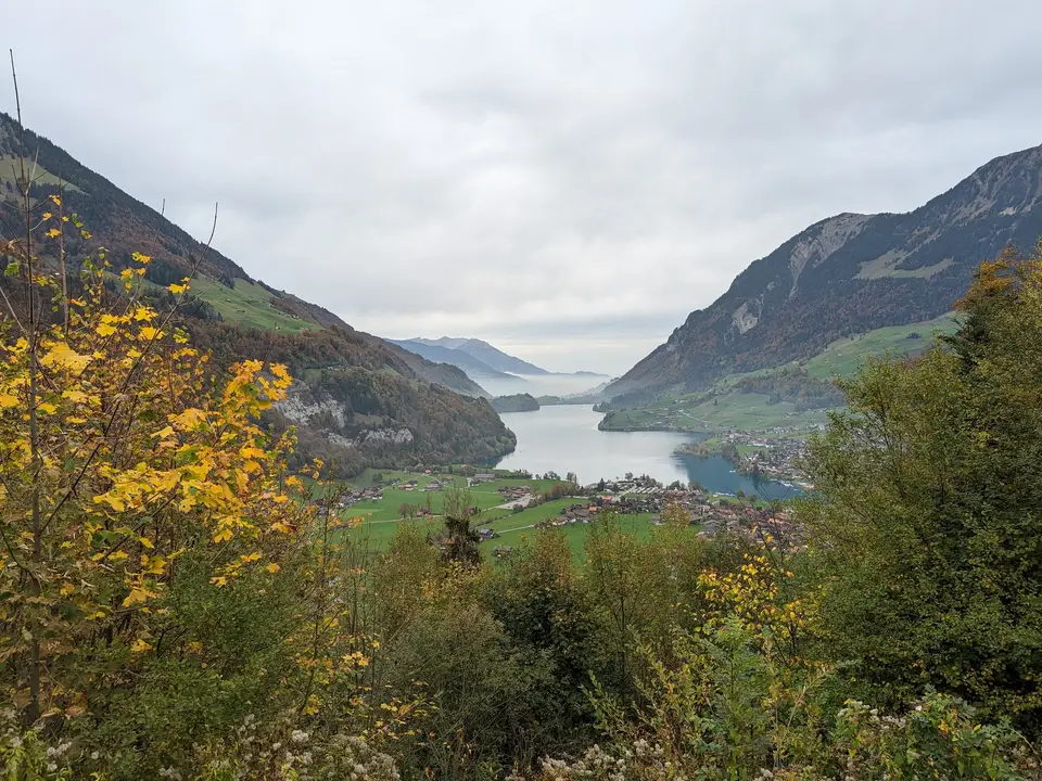
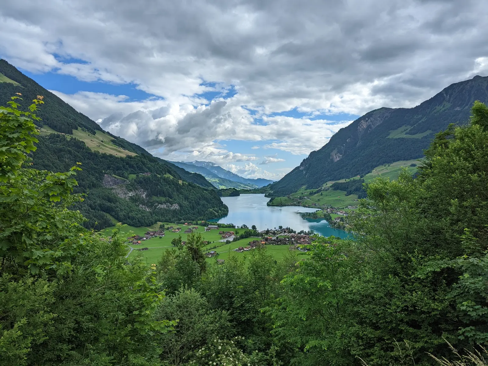
- The classic view is not from the shore. It is from the western slope above the village, looking the length of the water with the roofs stacked on the far bank — which is where two of the photographs on this page were taken, four years and two seasons apart.
The lake is not the size it used to be
This is the thing worth knowing about Lungern, and nothing at the roadside tells you.
- The lake used to fill far more of this valley. The village argued about whether to lower it from about 1700 onwards — more water meant less grazing, and grazing was the whole economy.
- In 1836 they finally did it: drove a 380-meter tunnel through the rock and dropped the water level by 36 meters, winning a large area of the old lake bed back as farmland.
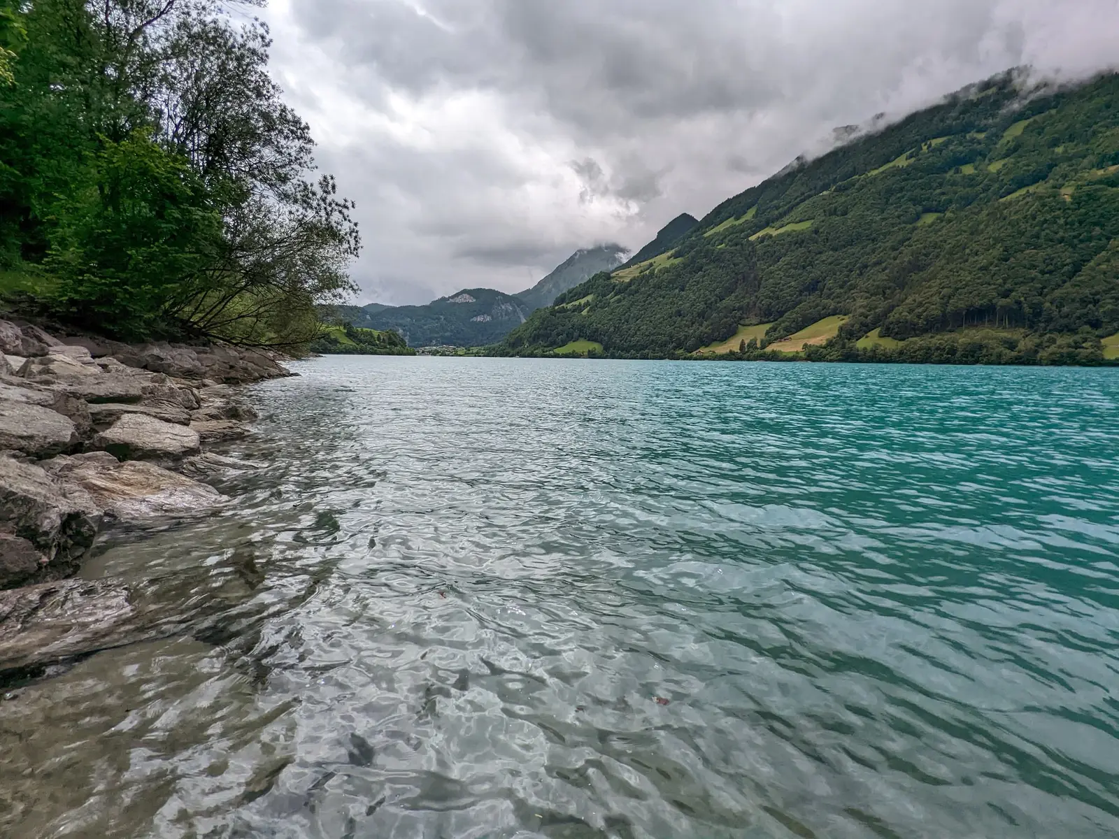
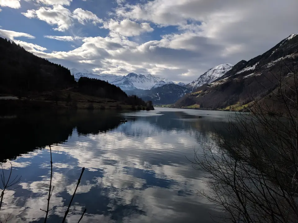
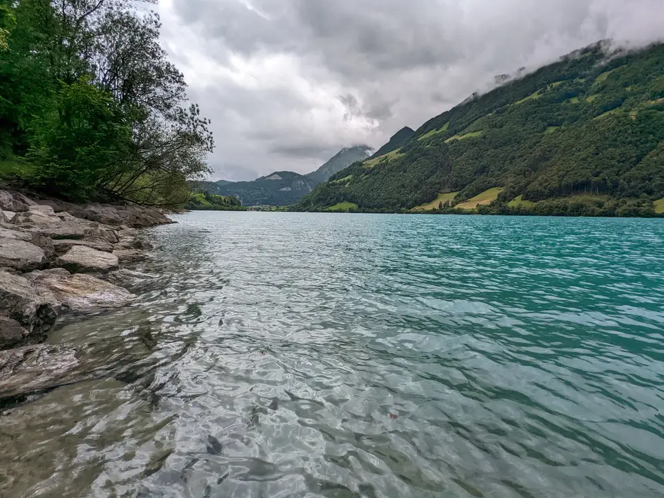
- It is managed as a reservoir now, so the level moves through the year — drawn down through the winter and into late spring, full and improbably turquoise by midsummer.
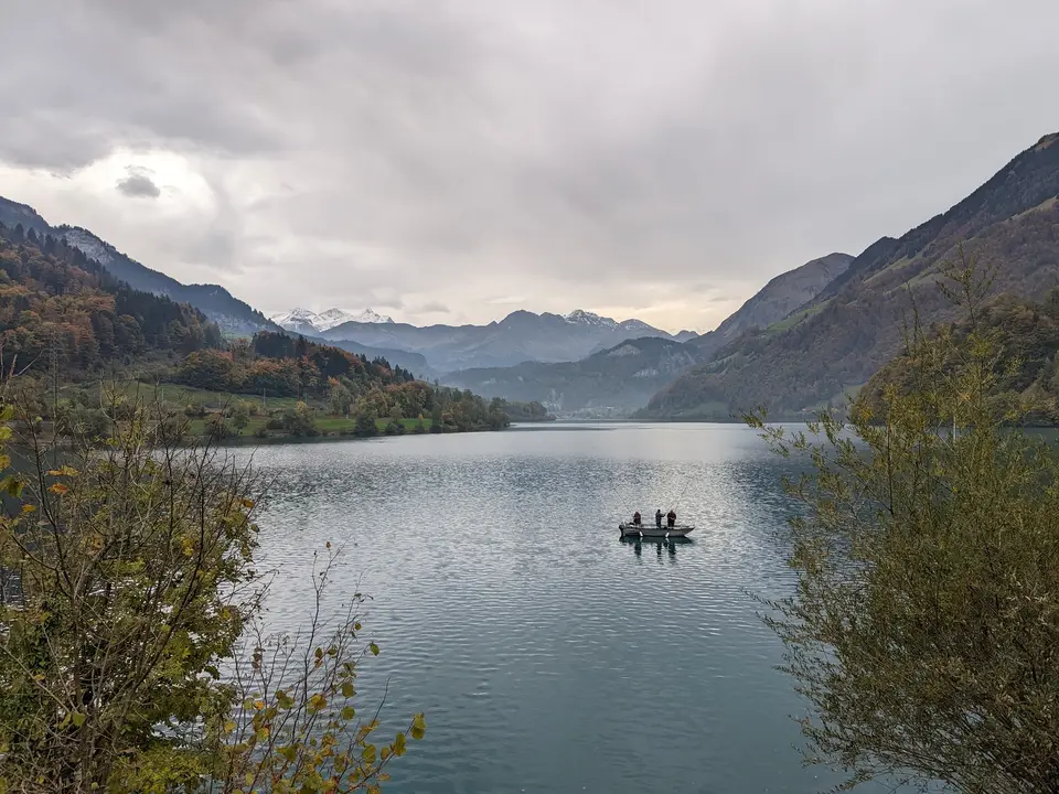
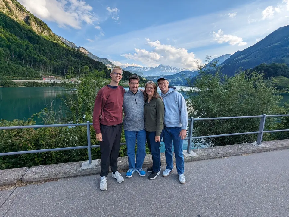
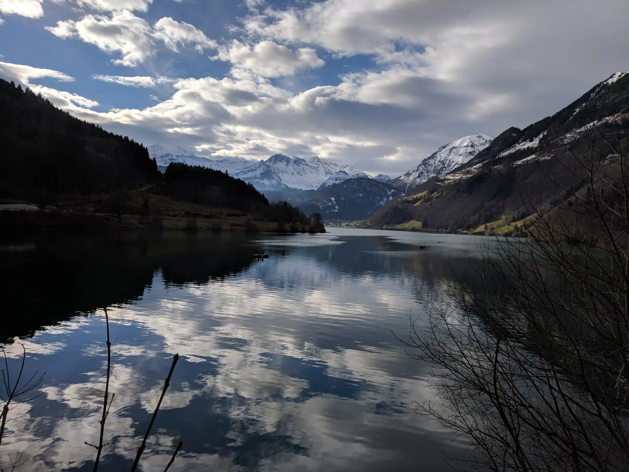
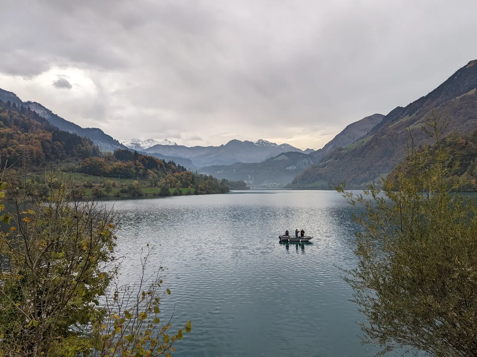
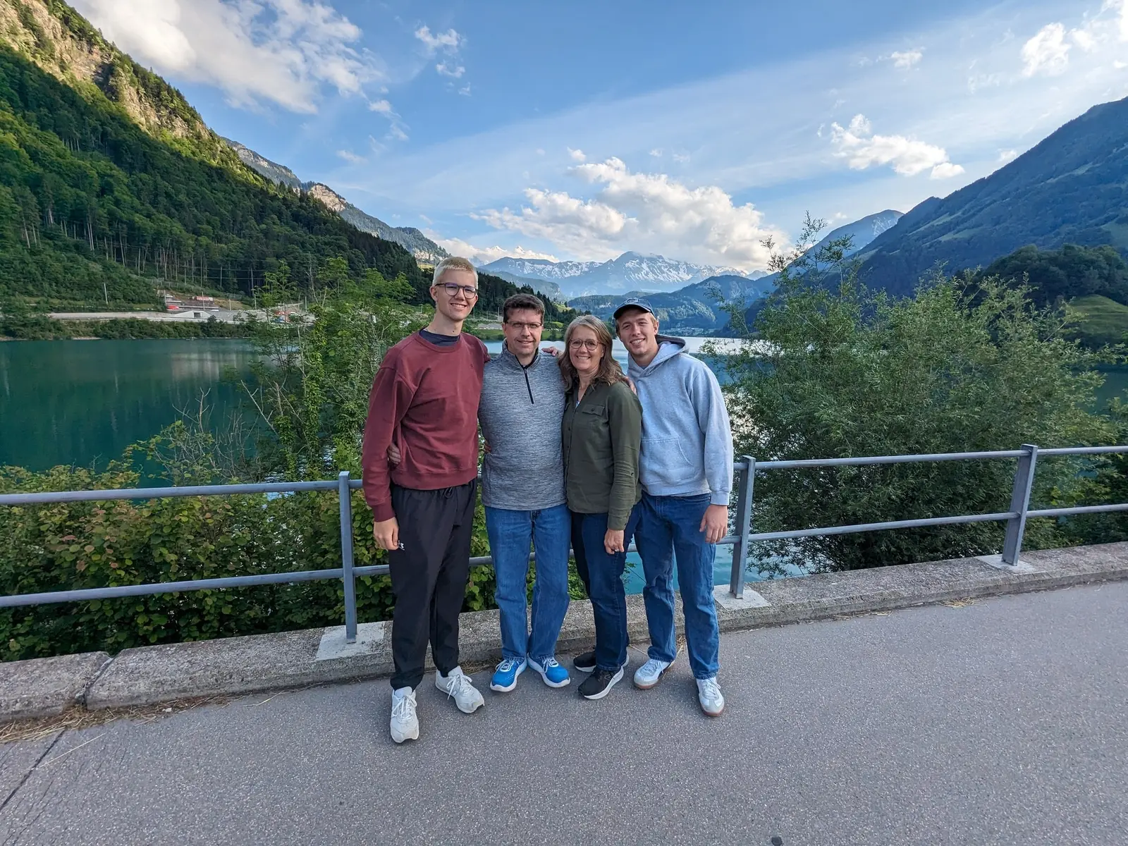
You can watch this happen across the photographs on this page, which is why they are worth looking at in order rather than as a set. Two were taken in January 2018, two in June 2022 and two in October 2022. The January lake is dark, low and metal-colored under bare branches. The June lake is the postcard. They are the same water.
Getting above it
- The Lungern–Turren cable car goes up from the village to Turren at 1,531 meters — a climb of 829 meters in about six minutes, running roughly every twenty.
- It runs in summer and again in winter, with the mountain shut for a few weeks between the two seasons and a reduced weekend-only service either side. Check it is turning before you build an afternoon around it, because the gap between seasons is not obvious from anywhere except the operator’s own schedule.
- At the top it is walking country rather than an attraction — paths in summer, snowshoe and winter-walking routes when there is snow on it.
Budget tips
- Looking at Lungern is free. The lake, the shore, the village and the view from the slope above it are the whole point and none of them is ticketed. That is unusual enough in central Switzerland to be worth stating.
- The cable car is the only thing here you can actually spend money on. If the weather is marginal, keep the francs — the view from the valley is most of the view.
- You are already paying for the journey. The Brünig line between Lucerne and Interlaken is ordinary rail, covered by the national passes, so breaking the trip at Lungern costs you an hour rather than a fare.
- If you are driving between Lucerne and the Bernese Oberland, this is on the way. It is not a detour, and treating it as one is how most people miss it.
When to bother
- June to September for the turquoise. The color in the summer photographs here is not a filter; it is glacier flour in a full reservoir, and it does not look like that in April.
- October for the slope above the village, which turns properly.
- Midwinter is the honest one. The lake is drawn down, the far shore is mud and stone, and it is bleak in a way that is genuinely worth seeing — but do not send someone here in January expecting the photograph they saw of it in July.